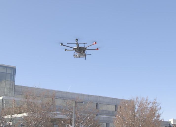
RF Geolocation Mounted on a UAV
Team: AJ Womack
Sponsor: Research performed through the Center for Advanced Imaging LiDAR with funding from L3Harris, Inc.
Objectives
The goal is to use an antenna on an Unmanned Aerial Vehicle (UAV) to detect a signal and find the location of a Radio Frequency (RF) transmitter. The objectives are:
- Mount an antenna to the camera/Lidar on the UAV
- Use the antenna measurements to find the location of the RF transmitter
- Display the transmitter location on a 3D terrain map generated by the UAV imaging system
System


Methods
- The geolocation system is attached to the UAV payload. RF data is captured every 100 ms while the UAV flies over the area.
- A software program randomly selects a subset of five receiver locations at a time to compute an estimated transmitter location
- The estimated location from each subset is combined to a 2D histogram, and the bin with the highest number of subset estimates is chosen for the final estimated location

Conclusion
With data from a flight experiment, the system was able to estimate the location of the transmitter within 12.5 meters. Brighter colors represent higher probability of the transmitter, and the dark blue represents a lower probability of the transmitter.


A section of the terrain map (top left), histogram (bottom left), and combined terrain and histogram (right). The transmitter location is shown by the red box.